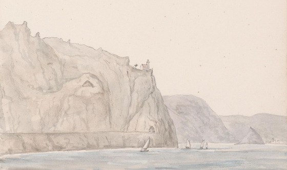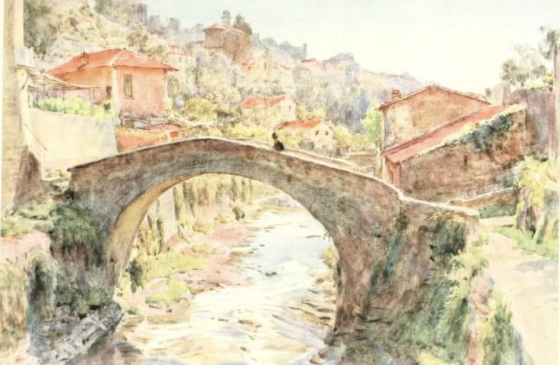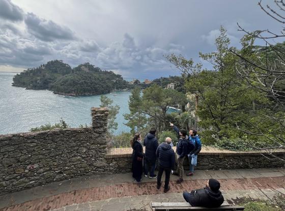
The project examines the value of travel sources (iconographies and written texts) produced between the 18th and the early 20th centuries in the marginal and internal areas of Lazio, Liguria, and Trentino-Alto Adige to investigate how landscapes have changed over time and to provide insights into current strategies for territorial and landscape enhancement. The potential of geo-historical sources in providing indications of landscape dynamics, especially in terms of its protection and management, is widely recognised. However, there is still a lack of comprehensive national analysis to systematically explore landscape representations and written accounts. In this context, the project, conducted by three units from the Universities of Genoa (UniGe), Trento (UniTn), and Roma Tre (UniRoma3), aims to consolidate an interdisciplinary approach to these sources through the analysis of pilot cases and study areas.
This exercise will test a methodological approach on a diversified range of sources to provide new insights into today's landscapes, also with a perspective of engaging communities to increase awareness of the biocultural heritage of Italy's marginal and internal areas.
The implementation of a webGIS
An inventory and digitalisation model through an experimental historical GIS will act as a virtual platform where to collect, compare, analyse and visualise geo-localised information gained from the analysis of travel literature and topographical views. The final result will be a territorial information system able to facilitate the comparison of different data to develop a deeper analysis of two specific themes: the diachronic study of hydrogeological risk and the enhancement of traditional villages (“borghi”) in the context of Italian inner areas. Results will be shared through an experimental webGIS prototype potentially applicable to other case studies. Such products will first provide novel information to disciplines involved in territorial management and planning. Secondly, they will facilitate a user-friendly divulgation of the project’s results amongst local communities thanks to the use of a cartographic visualisation system. Therefore, the webGIS will be a valuable tool to help territorial planning processes and to stimulate public participation and active involvement of local communities and stakeholders for a shared decision-making process. The participation of local actors takes inspiration from the practice of citizen science; through the direct involvement of people in the data collection process and the use of webGIS, the project will increase the knowledge of such sources among the public and stimulate reflections on landscape change and sustainable local development. The project is designed as not to cause any significant harm to the environment and
Contribution to landscape policy and heritage safeguarding

The current project explores the potential of topographical views and travel literature as sources of information and data that provide new insights into landscape planning with particular reference to internal and marginal areas. The focus on traditional villages (‘borghi’) of some pilot areas of Liguria, Lazio and Trentino is consistent with one of the themes of the Italian PNRR and the Piano Nazionale Borghi. With reference to Mission M1C3.2 (revitalisation of small cultural sites, cultural, religious and rural heritage), the project can be a stimulus to bottom-up and participative actions to increase the attractiveness of interior villages (Investment 2.1) and surrounding rural landscapes (Investment 2.2), for example through the creation of thematic footpaths and installations. Such deliverables will benefit from previous experience and expertise within the research group in sustainable tourism analysis and planning. The focus on hydrogeological risk is justified by the wealth of travel descriptions and views of rivers, streams and specific flood events which are hardly archived and systematised. The integration of geo-historical data with current landscape management tools provides novel information on hydrological and geomorphological dynamics through time for a complete framework more conscious of the past.
Public engagement and awareness of sense of place

By looking at travel histories of visitors to marginal areas of the country, the project will unveil the intangible cultural legacy of national and foreign travellers in internal Italy. The analysis of written and iconographical sources can help unveiling the original tourism vocation of such areas amongst residents and the broad public, increasing local identity and sense of place. In addition, the re-discovery of lost slow tourism practices will inspire bottom-up approaches to local development through the promotion of low-impact tourism activities. Public dissemination will take place in three forms: web-based social communication, public meetings and a webpage with webGIS. Social profiles of the project.
Moreover, as the commitment of local communities is an essential step for cultural and environmental heritage conservation, two public meetings will be organised to share the ongoing investigation and the results. These will be “participatory seminars”, during which the local people will be invited to share their knowledge/experience on collected documentation and to participate in the collection of documents from their private archive. As a final communication step, one of the main products of the project, the webGIS, will allow the sharing of the results in a friendly interface and attractive way. WebGIS will be aimed at reaching and engaging the public to stimulate a public debate on the various themes that will be developed during the project. In particular, public participation will be important to:
a) help the precise identification and location of topographical views analysed in the project;
b) provide first-hand information on the “biography” of individual landscapes depicted in the views and described in written sources;
c) involve various targets of public, also in a transgenerational dimension, in order to define how cultural landscapes are perceived, interpreted and understood d) share ideas and considerations on the way in which these sources can be used in local development policies;
d) share ideas and considerations on the way in which these sources can be used in local development policies.
_____________________________________________________________________________________
Finanziato dall’Unione Europea – Next Generation EU, bando PRIN 2022 PNRR, progetto “Envisioning landscapes: geohistorical travel sources and GIS-based approaches for participative territorial management and enhancement” (P2022PAHJT) – CUP D53D23020240001
